How to Read a Tide Table Before a Day on the Beach
A beach at breakfast and the same beach at teatime can look like two entirely different places. That is not an illusion — it is the tide doing what it does twice a day, and it is the single most useful thing to understand before you commit to a spot on the sand.
Reading a tide table takes about five minutes to learn. It tells you when the water arrives, how far up the beach it will come, and when you need to move. Here is how to do it properly.
Start with the right table for the right place
Tide times are local, and "local" means genuinely local. A table for a town ten miles along the coast can be half an hour out at either end of the day, and on a shallow estuary the difference can be far greater.
- The harbour or port authority for the nearest port usually publishes an annual tide table.
- The UK Hydrographic Office runs a free online tide service covering standard and secondary ports.
- Council, harbour and National Trust noticeboards at the beach itself often carry the most specific information.
- Local chandlers, village shops and beach cafés frequently stock printed tables for the season.
Whatever you use, check that it names a specific port or bay. An app that quietly picks the nearest large port may be perfectly accurate for that port and an hour out for your cove.
What the numbers actually mean
Each line of a tide table gives you four figures for the day: the time and height of high water, and the time and height of low water. Most tables show two of each, because there are roughly two tidal cycles in 24 hours.
Heights are given in metres above Chart Datum, a fixed reference level close to the lowest tide that can reasonably be expected. Two consequences matter when you are standing on the sand:
- A height of 0.7 m does not mean the water is 0.7 m deep. It means the surface sits 0.7 m above the datum. Actual depth depends on the seabed beneath you.
- Heights are comparative, not absolute. The number that matters is the difference between high and low water, because that tells you how much beach you will gain or lose.
Two smaller traps. First, check the time zone: printed tables may run on GMT all year while your phone shows BST, which puts you an hour out. Second, the tide cycle is about 12 hours 25 minutes, so each day's high water arrives roughly 50 minutes later than the day before. A table a week old is not a table you can use.
Springs, neaps and the size of the range
Look down a month of heights and you will see them swell and shrink in a rhythm. Around the new and full moon, high water is higher and low water is lower — spring tides. Around the first and third quarters, the range shrinks — neap tides. Spring has nothing to do with the season; it is an old word for "rise".
The practical difference is large. On a spring tide the water can reach several metres further up the beach than on a neap, and it moves with more purpose when it gets there. That is the day your carefully chosen spot by the dunes becomes a spot in the sea.
Range varies enormously around the British coast, from barely a metre in some sheltered corners to more than ten metres in the Bristol Channel. If you usually beach on the south coast and spend a week in north Devon or on the Solway, do not assume your instincts transfer with you.
Timing your day around the water
A few simple rules cover most beach trips:
- Family beach day: arrive about two hours before low water. The beach is at its widest, the water is creeping in slowly, and you have a good stretch before you need to think about moving.
- Rock pooling: the two hours either side of low water are best, and a spring low beats a neap. Wear shoes with grip — wet weed on rock is genuinely treacherous.
- Swimming: be in the water an hour before high tide. Once high water has passed, the ebb starts pulling away from the beach and the water gets shallower and less predictable.
- Crossing a causeway, tidal island or wide bay: go within an hour either side of low water, and turn back while it is still low.
Then add a margin. Water does not rise at a constant speed. It moves slowest at high and low water and fastest in the middle of the tide, so the shift from "plenty of time" to "no time at all" happens faster than it looks.
The places where tides catch people out
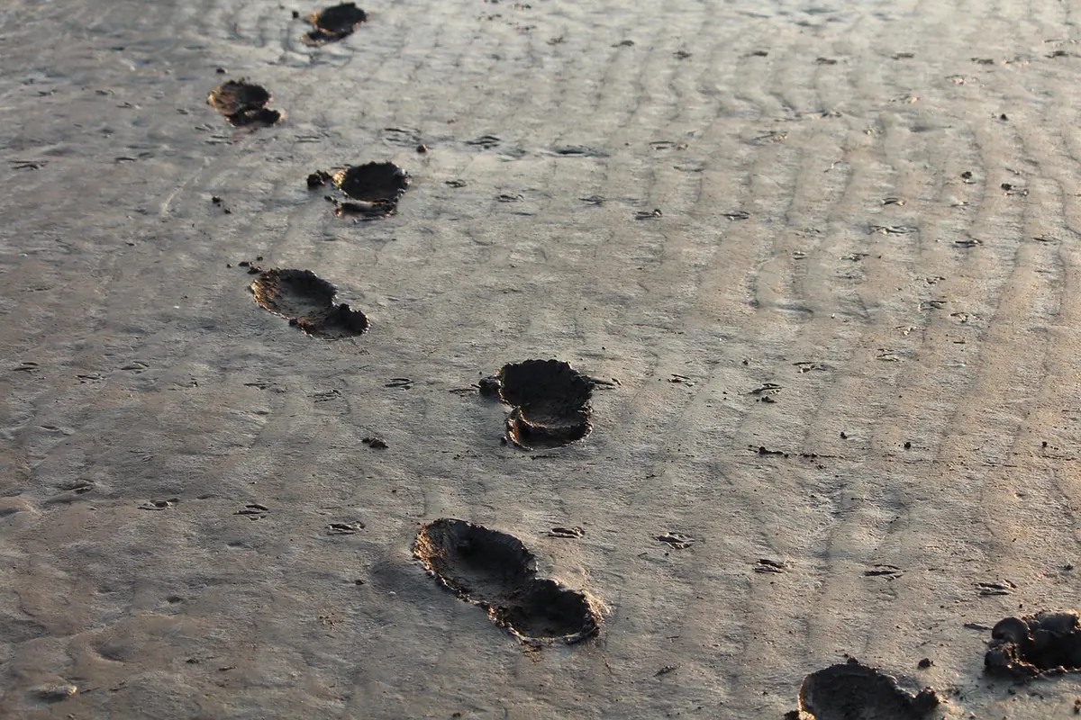
Flat sandy beaches are the classic trap. On a shallow gradient the water's edge can advance at walking pace, and if you have walked out to a sandbank, the channel behind you may fill before the tide reaches your feet.
Estuaries and river mouths funnel the incoming water and can run quicker than anyone expects. Rocky headlands cut you off from both directions, so it is easy to round a point on the ebb and find the way back under water. Causeways to tidal islands flood along their length rather than from the sides, which means a stretch that looked dry five minutes ago can be knee-deep.
If you are cut off, stay on high ground, keep dry and warm, and call 999 and ask for the coastguard. Do not try to wade or swim a channel to save time.
A five-minute check before you set off
- Confirm which port or bay the table is for.
- Check the time zone on the table.
- Note the next high water time and height, and whether it is a spring or neap tide.
- Check the wind: a strong onshore wind, low pressure or heavy swell can push water higher up the beach than the predicted height.
- Note sunset and decide your leaving time before you leave.
- Check local signs and, in summer, ask the lifeguards about currents and cut-off spots.
- Carry a charged phone in a dry bag, and tell someone where you are going and when you expect to be back.
The one habit worth keeping
If you remember nothing else, do this: write down the time of the next high water, subtract two hours, and treat that as your day. Everything else — the picnic, the walk, the swim, the rock pools — fits inside it.
Tide tables are predictions, not promises. Weather, swell and local shape all nudge the water this way and that. So use the table to plan, then use your eyes once you are there. Watch the water for five minutes and you will see which way it is going. Turn round while it is still going out, and you will never be the person on the sandbank waving at the shore.
Photo: Elektro-Plan / Pixabay
You Might Also Like
A worked two-day plan for an autumn or spring weekend on the Pembrokeshire coast, pairing a cliff walk with a sheltered paddle and a campsite base — plus what to book first.
Sand, salt and a steady onshore breeze wreck kit lists built for woodland sites. Here are the fifteen things coastal first-timers most often leave at home.